
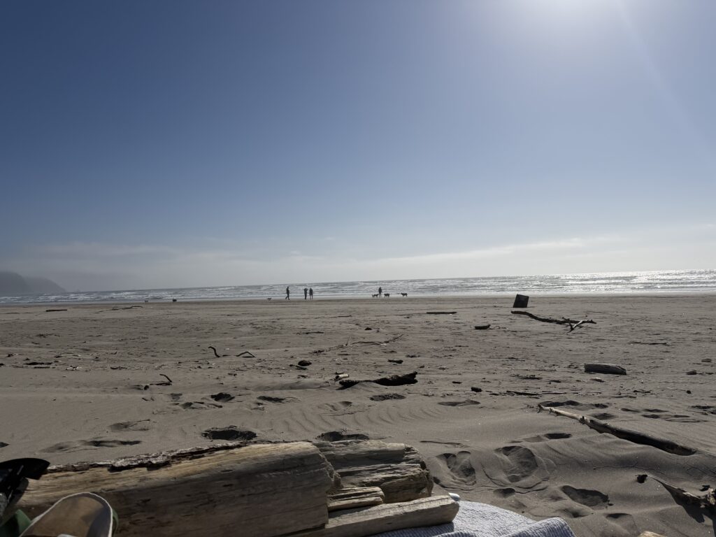
Yay! So we’re moving past the planning, prepping and organizing of the trip and into the “get to see cool stuff” part. Today’s post will be centered around Sequoia National Park, where we spent most of the second day exploring. If you’ve been waiting for those tall tree pics, I got you! We’ll also cover some super cool info about this ancient forest that we were able to learn about in the museum they had there. Legooooooo! 🌲

A Big Meadow Morning Before Our Sequoia Adventure
When we woke up from a wonderful night’s sleep at Big Meadow campground on Sunday morning, we had complete intentions to return there for another night’s stay. Follow along to find out how we instead began making our way to Yosemite after Kings Canyon, and had a *very* long drive ahead of us! 🥲
*One thing I do want to mention is to check websites and forums ahead of time for any upcoming events that may be taking place during your trip. The 12th Annual Dark Sky Festival was currently going on in the park, so there was a little more unexpected traffic and tourists than we had originally anticipated, as well as an event going on that we could hear until about 8pm in the evening near the campsite.
Upon waking up, we grabbed some dehydrated granola packs and made some coffee and tea in our new little stove. I’m glad we opted for more dehydrated packs this time, as cooking is usually a pretty big chore with planning, preparing, and cleaning up. This decision saved us a lot of time and frustration between deciding on what would be best to make each night and day. (Someday I plan to write up some easy to follow camp meals for us all to go by in the future…you included!…but for now, I’ll stick to less decision fatigue and more easy clean-up.🤷♀️

The Lost Grove: A Scenic Start Along Generals Highway
Once we checked the map once more, we made our way to a few Sequoia sites. The first was on the way down the scenic route, just off the side of the road (The Generals Highway). It is called “The Lost Grove,” and you can learn all about how it was once an entrance site by reading here.
Quick Note: The Generals Highway is 32.5 long, winding miles going through the mountains, and it ranges from 1500 to 6400 feet. I noticed after reading online that a lot of peeps were scared of this road, but I would say it’s rather the opposite. (At least for the weather we had in mid-September). As long as you pay attention to the road and other drivers (which tend to veer into your lane if they’re busy checking out the Giant Forest), you’ll be just fine. And if you’re traveling solo and want to see the big ol’ trees, please be sure to safely pull off onto the side of the road to do so. 🫶
As soon as we pulled up to this section, we knew we had underestimated their sheer size. Being up close to one of the first trees we passed, we realized that it was in fact, ABSOLUTELY GIANT. 😳
We took a bathroom break, grabbed some pics and made our way back onto the highway to head to our next stop, but not before grabbing an epic pic, of course.

If you’re wondering what some of the best stops are, I urge you to check out this awesome interactive map from the National Park Service.gov.
From Post Offices to the Planet’s Biggest Tree
Another thing we didn’t think of before this trip were post offices. They were everywhere! Which made me realize that duh, they are in every single zip code, which means we would have no problem mailing dehydrated meals or snacks ahead of time and picking them up instead of trying to travel with them or find what we like upon arrival. This is something we will definitely be taking advantage of in the future.💪
We stopped to hike near the General Sherman tree (the largest in the entire world by volume!!) There are taller and wider trees, but it still holds the title of the largest single-stem living organism on the whole freaking planet. Like, what. 😅
This tree is located on The Congress Trail, which is a short 2.7 mile paved loop that winds through the grove. I will admit that the slight uphill we had to make our way back up was a bit daunting, but we just chalked it up to additional training for Mt. Whitney. We spent about 1-2 hours on this trail and the surrounding trails, which can take you even further out into the giant forest if you’re game…we may or may not have figured this out on accident, so, pay attention to your trail markers folks. 😁
Speaking of things to look out for, on your way down to check out the General Sherm himself, be sure to watch your footing over this gigantic footprint👇 that you’ll walk across on the path! It’s incredible to think how absolutely huge the base alone of this tree is, so spend some time here and try to appreciate its beast-ness!
Related: From Route Planning to Trailhead: Final Steps Before Our Mt. Whitney Summit


General Sherman And Other Fun Facts About Sequoia National Park
Our last stop in the park was the museum. (I’ll save Moro Rock for the next post, so check it out when you have a chance!) 😌
I always love going into the park museums after we travel around the iconic sites. It’s incredible to see so much information in one place about a beautiful site on earth. In here, we learned that the General Sherman tree is over 2,200 years old and 275 feet tall!!
Inside you’ll learn about their life cycles and how they’re pretty much fire-resistant. 😎 Boom points, Sequoias. As well as view interactive sections that are kid and family friendly. You can grab a souvenir, take a bathroom break, and grab yourself a good book while you’re at it for the next bit of hammock time.
The museum is open year-round, with the following hours in case you’re interested in adding it to your itinerary!
- Summer Hours: 9am-6pm
- Winter Hours: 9am-4:30pm
A couple reminders about entering National Parks:
- You’ll need to pay for a pass at the park entrance unless you’re a baddie and already snagged yourself an America The Beautiful Pass…you’re welcome. 😉
- Parking is *always* busy, so try your best to get there early and grab a spot before it gets too crowded and you spend more time searching the parking lot instead of learning awesome things.
- Rangers are always in the museums or lingering around the property if you have questions for them. 💁♂️
- Bring a map! I suggest printing one out online ahead of time or ordering one to bring with you for the trip. Having GPS and trail apps are helpful, but the likelihood of having service in most park areas is slim.
- Speaking of apps, we like AllTrails and Gaia, and do our best to remember to download any trails we want to hit up beforehand, since by the time we get there we won’t have service to do so…yes, once again, speaking from experience here.🙂


Forest Fires and Hot Spots
I’d like to close out this post by chatting about a few fun facts that we didn’t yet cover. So, if you’ve had a moment to look at the pics above, you’ll now know that Sequoias and fire go hand in hand. Which is kind of weird for trees made of wood, I know. However, since their bark is so thick and fibrous, they’re insulated well which means that the bark will actually dissipate the heat. Instead of bursting into flames like most trees would when fire hits it, the Sequoia bark chars slowly, (shown in one of the pics below), which actually allows it to create an even more significant protective barrier to its inner awesomeness.
The difference in forest fires over the years has taught us that without allowing burns to happen, the fire actually burns hotter and therefore will in fact destroy more of these beautiful giants. So instead of preventing fires altogether like we once did, we now allow burns to happen so that the cycle of life can continue naturally.
“Hot Spots,” are particular areas of the forest where one tree had fallen over, smoldering and burning into the ground. Because of this newly opened area of the forest, more sunlight and resources could come in, allowing new seedling Sequoias to have their moment. These areas usually create multiples in one spot, leading to a larger section bundled together like shown in the pic below. Cute, right? 👇👫


Tunnel Log and Moro Rock
I’ll touch more on the remaining stops of Sequoia in the next post which will include the Tunnel Log and Moro Rock. After that we’ll make our way into Kings Canyon through the scenic byway, and talk about how we booked a campsite there but decided to continue to Yosemite instead.
If you’ve made it this far in the Whitney Series, I appreciate you!! 🫶 I’m hopeful that you’ll be able to experience these views someday as well, and that the tips so far have helped plan the process. If you’ve already had the chance to visit these places, please drop a comment below about how your experience was different, or if you have any extra tips to add.
Until the next post friends, bye for now! ✌️✨

Thanks for coming along for the ride!
From camp coffee to towering trees, this day was one for the books. Can’t wait to share the next stop in the Whitney Series with you soon!


One Response
Thank you for your sharing. Thank you. But, I have a question, can you help me?